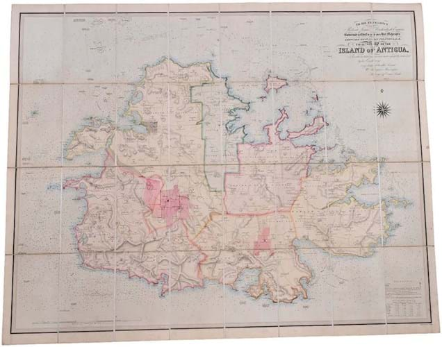
It sold instead for a premium-inclusive $7040 (£5600) at Nadeau’s in the small book section of an April 30 sale held in Windsor, Connecticut.
Dating from 1852 and bearing a dedication to Robert James Mackintosh, the British Governor in Chief of the Leeward West India Islands at the time, it bears the name of William Musgrave Shervington, Surveyor of Crown Lands.
Measuring 3ft 6in x 4ft 4in (1.02 x 1.12m) overall, the map folds into a somewhat worn but original slipcase.


