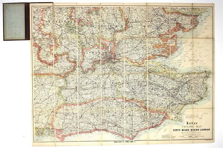
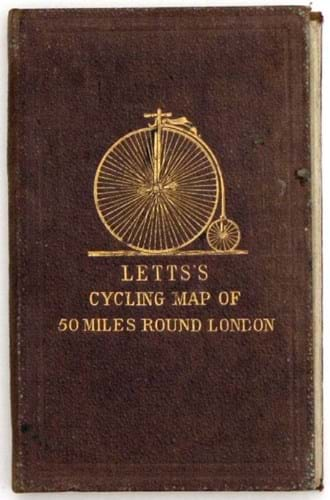
This 2ft x 2ft 6½in (60 x 77cm) lithographed map dated June 1892 is the seventh edition of Letts’s cycling map 50 miles round London. The best roads for cycling are coloured in red with hazards (such as steep hills) also clearly marked. It is priced at £180 from Bryars & Bryars.
The original Letts firm – well-established stationers, map and diary makers – went bankrupt in the 1880s and the rights to the maps were bought by Mason & Payne, who continued to issue them under the original Letts branding. Charles Letts founded a new firm specialising in diaries but made no attempt to re-enter the map market.
Bryars says: “Cycling is another major breakthrough in mass travel. It is not like having a horse, where you have got to keep feeding and maintaining it. You can buy your ‘safety’ bicycle and can more or less keep it on the road with a can of oil. It is a game-changer like the railways.”


