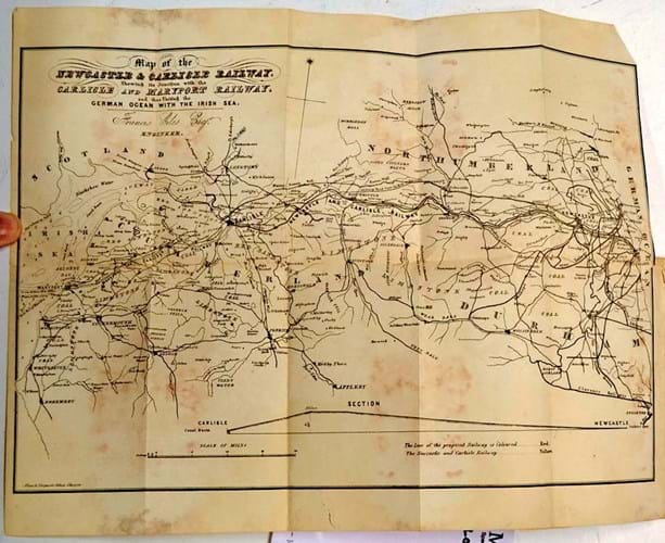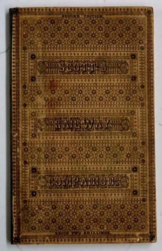
Sold at £400 in the Shropshire saleroom was Scott’s Railway Companion…, a work which describes …all the scenery on and contiguous to the Newcastle & Carlisle Railway.
It was printed and published in the latter city in 1839.

The decorative binding of the 1839 edition of Scott’s Railway Companion… to the Newcastle & Carlisle Railway sold for £400 at Mullock's.
Running to 111pp and including a fold-out map, this was a second edition of Hudson Scott’s account of the newly opened line. It had been first issued in 1837, even though the 60-mile long line did not formally open until June of the the following year.
The guide notes places of interest on or near the line and provides a great deal of information about the cities it connects.
The sale took place on March 4-5.


