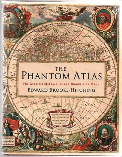
Sub-titled The Greatest Myths, Lies and Blunders on Maps, the introduction to Edward Brooke- Hitching’s The Phantom Atlas opens with a quote from Swift.
It moves immediately into the story of the crew of the Justo Sierra, who searched the Gulf of Mexico in vain for Bermeja, an island of some 30 square miles that had been first charted in the 1540s.
This reportedly “blondish or reddish” island was nowhere to be found, but those on the ship knew they were in the right spot.
The year was 2009 and they were a team of scientists assembled by the National Autonomous University of Mexico.
Instead, another cartographic ghost had been laid, just like that of Sandy Island in the Coral Sea, first recorded by a whaler in 1876 and thereafter marked on official charts.
It was only in 2012 – seven years after the launch of Google Maps – that it was realised it should have joined the 123 other islands, marked ED for ‘existence doubtful’ that in 1875 were removed from the Royal Navy’s chart of the North Pacific.
From the Strait of Anian to the North Atlantic voyages of the Zeno brothers, whose island ‘discoveries’ found their way onto the maps of Ortelius, Mercator and others – despite the fact that their voyage may never have happened at all – this very entertaining cartographic diversion tells 56 tales of map-making myths, mistakes, misunderstandings, monsters and make believe.
Some are well-known, others not so familiar. Together they make a splendid work to dip into wherever and whenever the fancy takes you.
The author, as many readers will have guessed or known, is the son of Franklin Brooke-Hitching, whose magnificent travel and exploration library was sold by Sotheby’s in the years 2014-15.
A self-confessed cartophile, EB-H already has to his credit an engaging book on pastimes that have fallen out of favour, Fox Tossing, Octopus Wrestling and Other Forgotten Sports.


