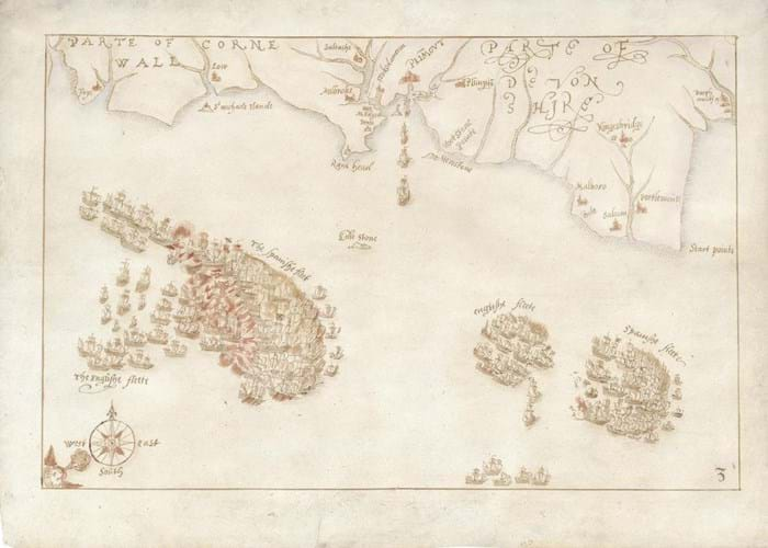
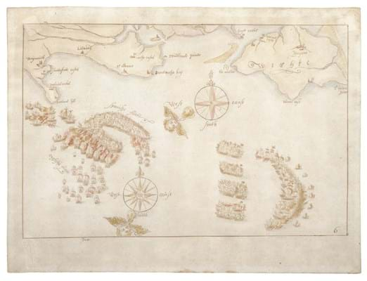
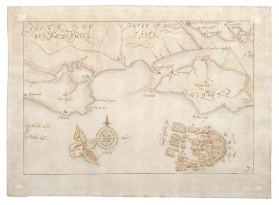
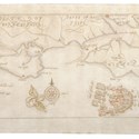
The 10 maps, the only known contemporary drawings of the defeat of the Spanish fleet in 1588, had been bought by an overseas buyer from map dealer Daniel Crouch.
They were then temporarily prevented from being exported last year by The Department for Digital, Culture, Media & Sport (DCMS) on the advice of the Reviewing Committee on the Export of Works of Art and Objects of Cultural Interest (RCEWA) due to their historical importance.
After Antiques Trade Gazette (No 2452) publicised the export block, the National Museums of the Royal Navy became aware of the maps being available and launched a fundraising campaign to raise the £600,000 (plus VAT) needed.
Prof Dominic Tweddle, director general at the National Museums of the Royal Navy, said: “I am glad that ATG featured the story. It was this article that kicked off the campaign. Like many cultural and heritage institutions, 2020 was an exceptionally tough year but we rallied and I am incredibly proud that we have made sure that the Armada maps have been saved for generations to come.
“I would take this opportunity to place on record my gratitude to all those who answered our call to help. It was an amazing response from our funding partners and the public, who dug deep in extremely difficult times, to save these treasures.”
The Portsmouth museum raised the money over the past two months. A large part of the funding was secured via grants from the National Heritage Memorial Fund (£212,800) and the Art Fund (£200,000) with the rest from the public.
The maps, a complete set drawn by an unknown draughtsman possibly from the Netherlands, are thought to be the earliest surviving representations of the naval battles and have not left the UK since they were first drawn in 1589.
The 10 ink and watercolour maps relate to the most famous images of the conflict: a series of engravings completed in 1590 by Augustine Ryther.
The original drawings by Surveyor of the Queen’s Works and military engineer Robert Adams (d.1595) which were used by Ryther have been lost. However, it is believed these maps are near-contemporary copies.
The museum is seeking further funds to put the maps on display for the first time and has longer term plans for them to tour the country when Covid-19 restrictions permit.


